Pedagogical objectives
Acquire basic knowledge of cartography and orientation/navigation to be autonomous during field trips
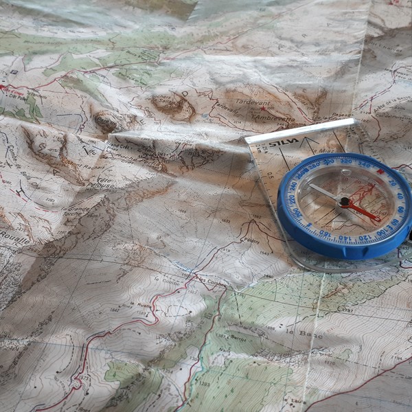
- Learn to read an IGN map
- Learn how to use your compass, altimeter
- Plan and organize an itinerary
Day 1: Mapping and orientation
Meeting point on the Glières plateau at 9am. Presentation of the course.
We will approach the fundamentals of cartography and orientation through theoretical exercises and practical applications on the ground.
End of the day around 5pm.
Day 2: Progress and navigation
Meeting point on the parking of the Grande Jeanne animal park on the Semnoz at 9am.
We leave today for a day hike on a new sector. This will allow us to learn about planning and navigation. The hike (of moderate difficulty, maximum 700m of ascent for a maximum of 6 hours of walking) will also be the occasion to test the knowledge assimilated the first day.
End of the course around 5 pm.